Geographic Information System
Complex data – simplified
If you need to know where something happened, where it’s likely to happen or why it happened in a certain place, a Geographic Information System provides that information. By visualizing and analyzing data through maps, GIS allows you to see patterns and relationships that spreadsheets simply can’t show. GIS turns numbers into visuals, allowing you to dig deeper and discover greater value in your data.

HORNE’s GIS team received Esri’s prestigious “Special Achievement in GIS” award in 2021.
Esri is the global leader in location intelligence gives these awards to recognize companies and organizations that demonstrate groundbreaking possibilities of GIS software. HORNE received this award for innovative use of mapping and analytics technology.
Solve problems with spatial data
As long as data has a location component, such as geographic coordinates, address, zip code, county, etc., it can be mapped. GIS brings in data from multiple sources — census demographics, political jurisdictions, flood zones, business information — to give you one complete picture. This data allows you to get the information you need to speed up processes, make quicker decisions and keep your organization moving forward.

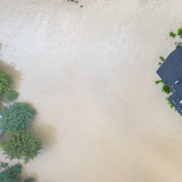
Streamline & expedite your projects with GIS
With our mobile app technology, GIS allows people in the field to provide live updates, giving your team real-time information to move the project forward faster and more efficiently. And GIS is a tool any business can use. Whether it’s disaster recovery maps showing the location of applicants or healthcare dashboards showing geographic expansion opportunities, GIS provides a new level of visibility, collaboration and education for your team.
HORNE applies the latest technology to data collection and management, integrating field activities, geoanalytics and web-based visualizations for an efficient and collaborative solution. GIS gives you the tools you need to have fast, accurate and accessible data to solve your biggest challenges.